Since 1994 NASA Earth science data have been free and open to all users for any purpose. NASA's Earth Science Data Systems (ESDS) Program is committed to providing the most efficient use of these data through the deployment of cloud-enabled data and tools. This cloud evolution benefits users by improving and streamlining operations to further encourage free and open access to data, investing in open source tools, increasing capabilities for data access and management, and engaging with strategic partners and the open-source community.
Delivering Efficiencies
Cloud computing improves the efficiency of NASA's data systems operations and furthers the free and open access to NASA data.
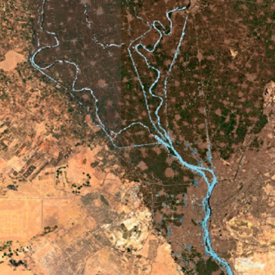
As the volume of data in NASA's Earth Observing System Data and Information System (EOSDIS) archive grows, so does the need for more flexible and scalable data access and management technologies.
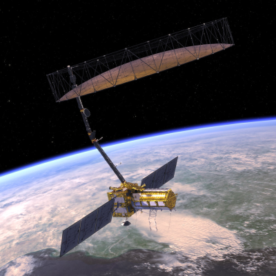
ESDS is migrating high-value datasets into commercial cloud archives, and NASA Distributed Active Archive Centers (DAACs) are in the process of moving the EOSDIS data they archive and distribute to the commercial cloud. Additional datasets are being prioritized for migration based on user demand. The Sentinel-6 Michael Freilich mission (launched in 2020) is NASA's first natively cloud-hosted mission.
A critical aspect of ESDS data migration is the set of strategies for ensuring that these data are Findable, Accessible, Interoperable, and Reusable (FAIR). This includes providing support for downloading data from the cloud to external locations, a process known as data egress.
Facilitating Open Science

Having data in the cloud enables efficient use of Big Data collections and the collaborative work with these data.
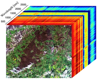
The ESDS Program defines open science as a collaborative culture enabled by technology that empowers the open sharing of data, information, and knowledge within the scientific community and the wider public to accelerate scientific research and understanding. The launch of high-data-volume missions such as the Surface Water and Ocean Topography (SWOT) mission and the upcoming NASA-Indian Space Research Organisation Synthetic Aperture Radar (NISAR) mission is projected to increase the volume of data in the EOSDIS collection to more than 250 petabytes by 2025. Having these data in the cloud enables users to work next to the data and then download the results of their analysis, significantly reducing computing time and cost. The cloud also enables teams of researchers in different locations to work collaboratively in real time with these data.
Learn more about ESDS work to evolve EOSDIS data into the cloud and how this furthers open science efforts.
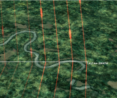
Simplified Analysis and Management
 and by working with data in the cloud (bottom image).")
Cloud-based data enable researchers and other users to access and process petabytes of open data quickly without the need for complex data management capabilities.
Enabling the analysis of cloud-based open data allows the next generation of data systems to scale to the magnitude of the data archives holding these data. Building capacity to access and process these data provides faster time to delivery of new tools and services and the opening up of technological advances to new communities of data users.
The ESDS competitive Advancing Collaborative Connections for Earth System Science (ACCESS) program enables the user community to propose projects for developing technologies specifically aimed at enabling science in the cloud and machine learning. Additionally, ESDS supports users with training and application migration guidance, including a tutorial series (How to Cloud for Earth Scientists) and a Cloud Primer for Amazon Web Services. The Earthdata Forum enables users to engage directly with other members of the ESDS community and share information.
Innovation and Strategic Partnerships
The ESDS Program supports evolving technology development programs to foster a cloud-based portfolio with innovations from strategic partners and the open-source community.
NASA works closely with technology partners such as Amazon Web Services and Google as well as organizations like Esri, ESA (European Space Agency), USGS, and NOAA to develop tools, services, and applications that drive cloud-based innovation.
All software and tools developed for use with NASA data comply with NASA's Open Data, Services and Software policies.