Small farms play a large role in food security, especially in sub-Saharan Africa and Asia. In fact, small farms (measuring less than 2 hectares or 20,000 square meters) produce about one-third of the world's food supply. But the size of these farms can make them difficult to map using coarse or moderate resolution satellite imagery.
The resolution of data from the Moderate Resolution Imaging Spectroradiometer (MODIS) instruments (250 meters) and the joint NASA/USGS Landsat instruments (30 meters) is often too coarse to accurately map very small farm fields in Tigray, Ethiopia, says Dr. Christopher Neigh, Research Physical Scientist at NASA's Goddard Space Flight Center in Greenbelt, Maryland. Crop maps produced from moderate resolution instruments often don't agree, Neigh and colleagues found. When they compared three moderate resolution crop maps for Tigray, only 8 percent of crop area was mapped by all three products.
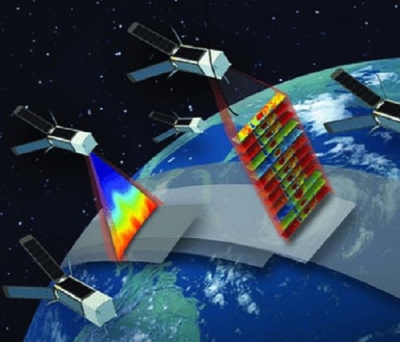
Neigh is principal investigator of a research project that aims to assess the viability of using high-resolution commercial small satellite data to better understand small-scale agriculture productivity, through the Commercial Smallsat Data Acquisition (CSDA) Program. CSDA was established to identify, evaluate, and acquire data from commercial sources that support NASA's Earth science research and application goals.

Crop Area in Tigray
By mapping small farms, researchers get a better picture of crop area, type, production, and yield, which is especially important in developing countries, where a higher proportion of people work in the agricultural sector.
Neigh has used very-high resolution imagery from Maxar's WorldView (WV) constellation to map small farms in the Tigray region, in northern Ethiopia. Most of the farms in Tigray are very small, measuring less than 2 hectares. Compare that to the average farm in the U.S., which is 179 hectares.
Neigh et al. used nearly 3,000 panchromatic images of Tigray from WV-1,-2 and 3 to identify farm fields and determine their size. WV-1 and 2 have a resolution of 0.5 meters at nadir and WV-3 has a resolution of 0.3 meters. Neigh and colleagues used distributed computing at NASA Goddard to classify fields, based on the texture of the vegetation in the images. Farm fields typically have more uniform vegetation texture than non-cultivated areas.
Along with higher spatial resolution, the Maxar archive of imagery provided Neigh's team with improved temporal resolution to map places that can often be obscured by cloud cover. More frequent observations of farms is the next critical step for looking at different crop types and understanding the health of crops during the growing season.
Using these images, Neigh et al. produced a map of fractional crop area for Tigray at 10-meter resolution. They found using WV imagery allowed for more accurate mapping of crop area.

Previous moderate resolution maps estimated cropland occupied only 38 percent of Tigray. Neigh's high-resolution map of Tigray estimates 46 percent of pixels have some cropland area, which is better aligned with ground- and survey-based estimates.
When compared to MODIS, WorldView imagery allowed for better characterization of places that had less than 30 percent area cropped.
Winter Wheat in Punjab
Professor Matt Hansen at the University of Maryland, College Park, is using high-resolution imagery from Planet to map winter wheat in Punjab, Pakistan. Punjab is considered the breadbasket of the nation. During the winter about half of its crop area is planted in winter wheat and the average field size is about 6 hectares.
Hansen's CSDA project, Assessing Crop Type, Extent, Production and Forest Disturbance in Asia and Africa, is using Planet imagery to assess where winter wheat is grown and how much is grown. Hansen and colleagues found that the temporal resolution of Planet imagery is an improvement over Landsat and MODIS and helped them get a better sense of what's happening on farm fields.

Having more frequent imagery allowed them to produce more accurate maps of crop extent and distinguish between different crop types on farm fields. Different crops have different spectral signatures during the critical time periods of the growing season.
Hansen found that using PlanetScope imagery they were able to produce maps of winter wheat extent that were over 95 percent accurate, which is a 15 to 20 percent improvement over Landsat-8. Hansen's research is part of NASA Harvest, which is NASA's Food Security and Agriculture Program. The project is incorporating field measurements to validate their crop maps.
Commercial imagery through CSDA is available for NASA-supported researchers. You can explore the data available from Planet and Spire in the new Smallsat Data Explorer tool.