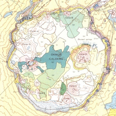
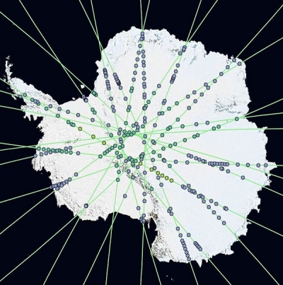
Whether it's the trees and plants that give us the oxygen we breathe, the snow-capped mountains that provide the water we drink, or the breathtaking geophysical forces that shape the land beneath our feet, we're all connected to and connected by Earth. To learn about some of the scientists studying these natural processes, and how they use NASA Earth science data for their work, we invite you to check out our new ArcGIS StoryMap: Connected by Earth, Informed by Data. This interactive application will both introduce you to researchers working in interesting environments around the globe, and give you a chance to experience the power of NASA Earth data for yourself.
Be sure to check out the Learning Resources section of the StoryMap for links to Data Pathfinders, Data Toolkits, articles, webinars, and more!
For an optimal StoryMap experience, open the StoryMap in a new window: https://arcg.is/1mbaPz0
Get started with NASA Earth science data, services, and tools.