The theme of this year’s Ecological Society of America 2020 Annual Meeting is “Harnessing the ecological data revolution.” Ecologists from around the world will gather virtually to discuss the new avenues of research that have been opened by the enormous amounts of data made available from diverse sources. These data are being generated by satellites, automated sensors, observatory networks, modeling, molecular techniques, and large-scale experiments.
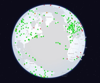
NASA’s recently launched satellites are acquiring large volumes of measurements relevant to biodiversity assessments and ecological studies. While NASA data are free and open, they are not always intuitively discoverable and accessible by all potential users.
Over the past six months, NASA’s Earth Science Data Systems (ESDS) has developed resources and tools to overcome this challenge and make it easy for users to find, analyze, and visualize this data. The new Biodiversity and Ecological Forecasting Data Pathfinder and Toolkit offer guidance and pointers to applicable datasets and tools specific to a user’s subject-area. These resources make it easier for users to find and analyze the data they need. The Pathfinder includes focus areas such as vegetation characteristics and processes; hyperspectral data; species distribution modeling data; and human impacts.
These resources can be found in Earthdata’s new Learn section, including several articles on how ecologists use remote sensing data in their research.
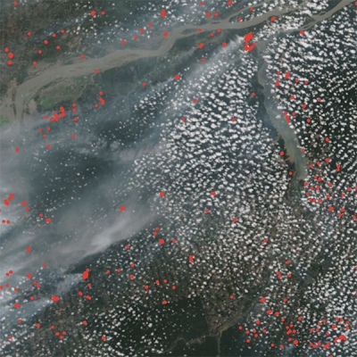
In May, ESDS released an article on researchers using remote sensing to map where invasive species are and where they could spread in order to minimize their damage. In July, ESDS spoke to NASA scientist Marc Simard about measuring the size of mangrove forests using synthetic aperture radar (SAR) and lidar data. ESDS also released a What is Synthetic Aperture Radar? backgrounder on the many ways to use SAR data in scientific research. Explore more related articles on the biodiversity articles page.
Workshop on Tools for Ecological Data
A workshop at ESA titled “NASA Data Made Easy: Tools for the Ecological Data Revolution” will dive into these materials as well as tools developed by NASA’s Distributed Active Archive Centers (DAACs).
The DAACs provide many tools for spatially and temporally subsetting datasets and downloading them in different formats. You can learn more about the tools developed for subsetting ecological data by exploring the Biodiversity and Ecological Forecasting Data Pathfinder and Toolkit.
Most of these tools allow for downloading data in Geographic Information Systems (GIS) file formats, which is important, as ArcGIS was the most popular software tool listed in the most recent American Customer Satisfaction Index (ACSI) survey report (used by 64% of respondents), followed by Quantum GIS (42% of respondents). During the workshop the newly-chartered Earth Science GIS Team (EGIST) will introduce several use cases of integrating and analyzing multiple NASA ecological datasets within a GIS using geospatial web services and the above-mentioned tools.
NASA’s upcoming Earth science missions will generate a large volume of data on our changing planet. We hope these resources, tools, and articles enable ecologists to take full advantage of NASA’s free and open data archives.