 |
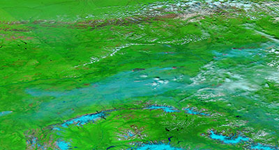 |
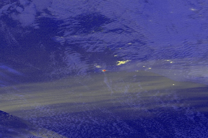
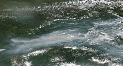
Images of fires north of Fairbanks, Alaska. The images were acquired on 7 July 2019 by the Visible Infrared Imaging Radiometer Suite (VIIRS) instrument, aboard the joint NASA/NOAA Suomi-National Polar-orbiting Partnership (Suomi NPP) satellite. Compare the true-color and false-color images with Worldview's compare tool—the true-color image is on the left and shows the smoke emanating from the fires; the false-color image is on the right and allows you to look through the smoke and see the areas on the ground that have burned.
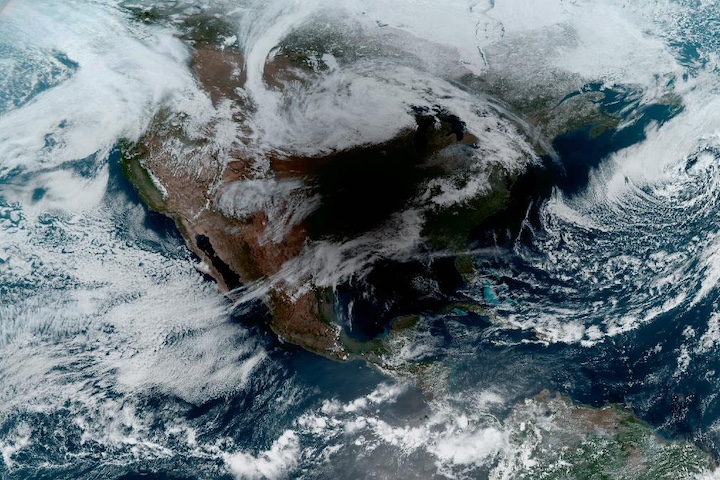
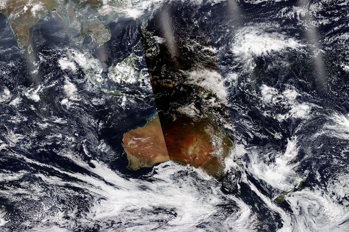
Visit Worldview to visualize near real-time imagery from NASA's Earth Observing System Data and Information System (EOSDIS).