Fluvial Landforms

Fluvial Landforms RSS Feed
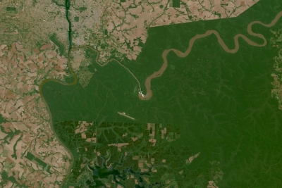
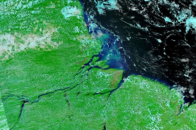
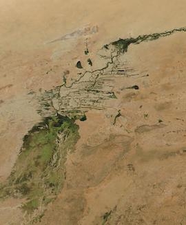
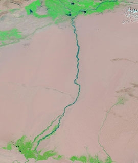
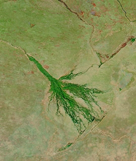
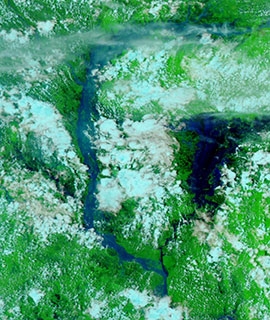
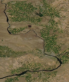
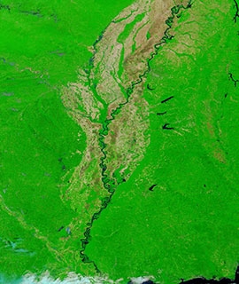
'Fluvial landforms' are features on the Earth's surface produced by the action, i.e. erosion and deposition, of a stream or river and include such landforms as bars, levees, braided and meandering channels, and alluvial fans. 'Fluvial processes' are those processes included in the action of running water in a stream or river

Sub-Topics

You Might Also Be Interested In

Filter By

Content type
True color reflectance image of Iguazu Falls, on the border of Argentina and Brazil on 10 October 2023 from the OLI instrument aboard the Landsat 8 & 9 satellites
Worldview Image of the Week
False color image of the Amazon Delta on 21 November 2022 from the VIIRS instrument aboard the NOAA-20 satellite
Worldview Image of the Week
Inner Niger Delta and Niger River, Mali on 3 January 2021 (Aqua/MODIS) - Feature Grid
Worldview Image of the Week
Hotan River, China on 16 August 2020 (MODIS/Terra) - Feature Grid
Worldview Image of the Week
Okavango Delta, Botswana on 10 August 2020 (MODIS/Aqua) - Feature Grid
Worldview Image of the Week
Flooding along the Brahmaputra River, Bangladesh on 25 July 2020 (VIIRS/NOAA-20) - Feature Grid
Worldview Image of the Week
Agriculture in Eastern Washington on 19 July 2020 (Aqua/MODIS) - Feature Grid20 Aqua
Worldview Image of the Week
False color image of the Mississippi River on 31 May 2020 (MODIS/Terra)
Worldview Image of the Week