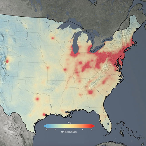
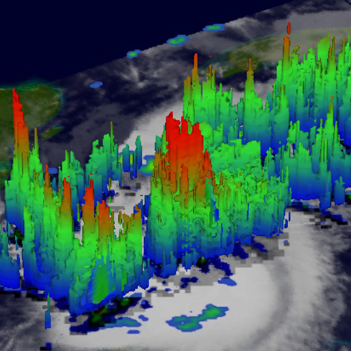
Poor air quality is one of the largest global environmental and health threats. The resources available through this Data Pathfinder provide ways to forecast poor air quality, track trace gases, visualize air quality trends, and forecast the movement of pollutants.
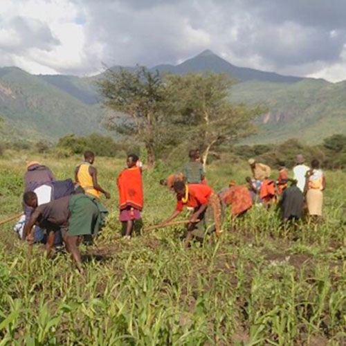
Directed toward agricultural and water resource managers, decision makers, and anyone interested in using NASA data to monitor crop production and water availability, this pathfinder directs users to NASA’s land-based data, surface and groundwater data, and vegetation health data.
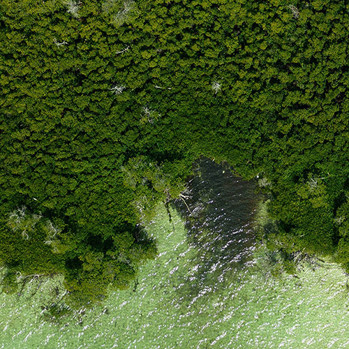
For ecologists, conservation managers, decision makers, and others interested in using NASA data to monitor biodiversity and forecast changes to ecological communities, this pathfinder provides access to NASA’s vegetation health, spectroscopy, and species distribution modeling data, as well as data for monitoring human-induced changes.
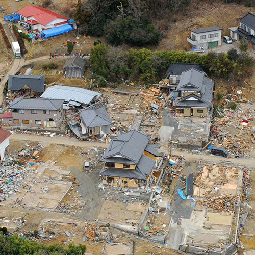
For emergency managers, decision makers, and anyone interested in using NASA data to understand the vulnerability and exposure of a community to a disaster, this pathfinder series (cyclones, floods, and more) directs users to NASA datasets that can aid in monitoring contributing factors, measuring and mitigating risk, and assessing post-event impacts.
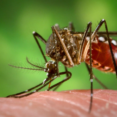
While sensors aboard Earth observing satellites cannot detect the spread of diseases from space, they provide long-term data records that help address, inform, and monitor many environmental variables that contribute to habitat suitability for vectors, seasonality, and transmission. This pathfinder provides links to relevant datasets and examples of tools that can be helpful in working with these data.
A Geographic Information System (GIS) is a computer system that analyzes and displays geographically referenced information from a variety of data sources to map and examine changes on Earth. This Data Pathfinder provides a general overview of GIS with links to specific NASA resources, including using NASA data in a GIS.
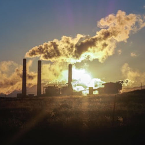
This pathfinder provides access to commonly-used data on greenhouse gases and is geared toward researchers in need of satellite, airborne, or ground-based data on climate-warming gases. The pathfinder highlights data on carbon dioxide, methane, nitrous oxide, ozone, chlorofluorocarbons, and water vapor.
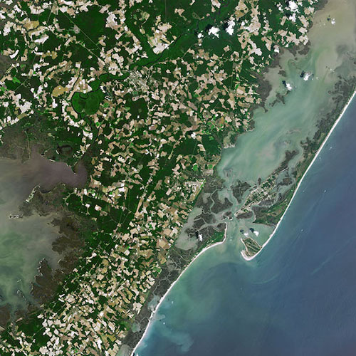
For city planners, decision makers, and others interested in using data to monitor changes and assess impacts, and risks associated with changing sea level. This pathfinder directs users to NASA datasets that can aid in tracking changes in glaciers and ice sheets, ocean processes, land water storage, and other factors contributing to a changing sea level.
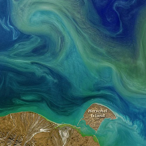
This pathfinder is geared to water quality managers and researchers who have a critical need to monitor bodies of water locally, regionally, and globally. It also helps those who are trying to determine the impacts of changes in water quality to ecosystems, humans, and the environment and to restore and protect coastal and surface waters.