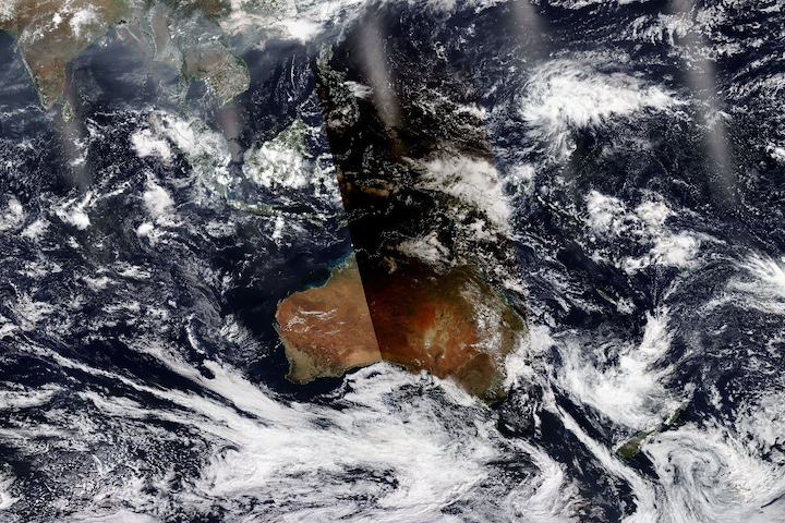
This comparison image shows flooding in the Northern Territory of Australia on March 13, 2024. The left image (A side) is a corrected reflectance (Bands 7-2-1) image from the Moderate Resolution Imaging Spectroradiometer (MODIS) instrument aboard the Terra satellite, which shows flooded areas in shades of blue.
The right image (B side) uses the same band combinations as the left image with the addition of the Flood (3-Day Window) layer, which shows flooded areas in red. The Flood (3-Day Window) layer is created from data acquired by the MODIS instrument aboard both the Terra and Aqua satellites and requires three water detections over three days to mark an area as having a flood.
Swipe the bar back and forth to see how the left side (A side) image showing floodwaters in shades of blue corresponds with the floodwaters highlighted by the Flood (3-Day Window) layer in the right image (B side). Learn more about the Flood layer in Worldview's Assessing Floodwaters tour story. Click on the icon in the upper right corner to interact with the map in the fully-featured NASA Worldview.
Visit Worldview to visualize near real-time imagery from NASA's EOSDIS; find more imagery in our Worldview weekly image archive.
Dataset
MCDWD_L3_NRT doi:10.5067/MODIS/MCDWD_L3_NRT.061