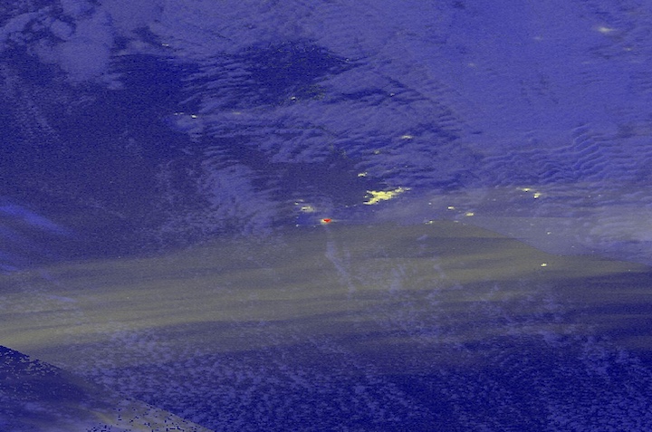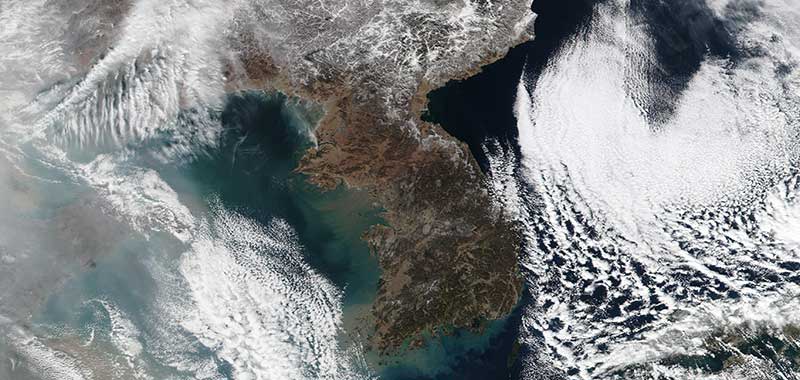
Image of the Korean Peninsula acquired on 16 January 2017 by the Visible Infrared Imaging Suite (VIIRS) instrument, aboard the joint NASA/NOAA Suomi National Polar-orbiting Partnership (Suomi-NPP) satellite.
Visit Worldview to visualize near real-time (NRT) data from Earth Observing System Data and Information System (EOSDIS).