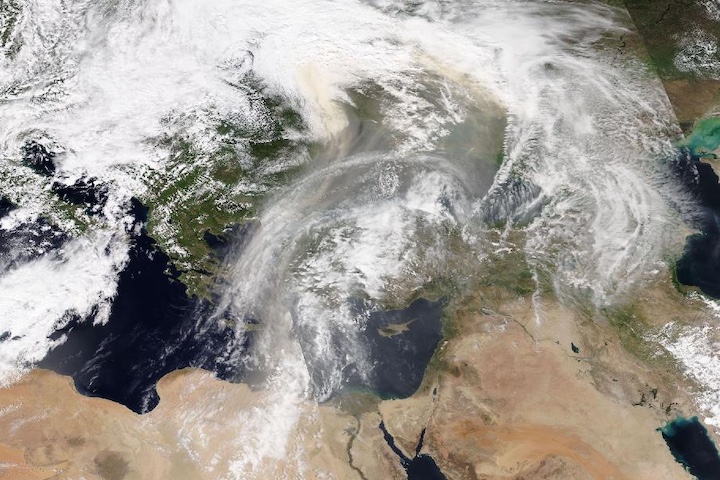
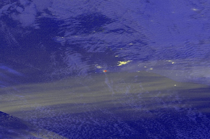
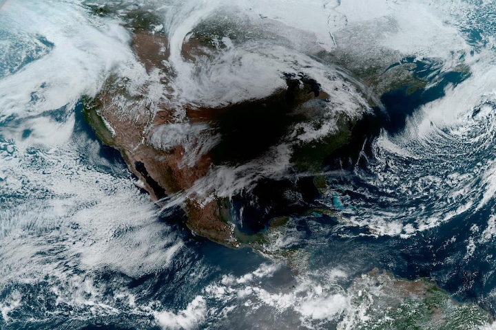
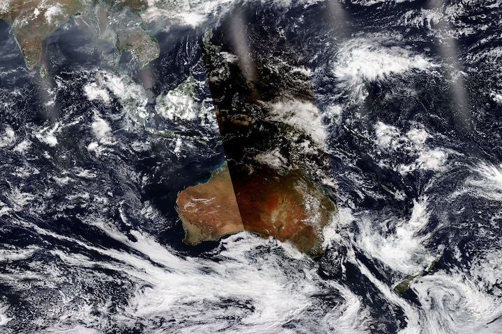
In recognition of the United Nations' World Water Day on March 22, enjoy a false-color corrected reflectance (Bands M11-I2-I1) image of Ghana's Lake Volta—the largest artificial reservoir by surface area in the world, covering 8,502 square kilometers/~3,083 square miles. This image was acquired on March 16, 2024, by the Visible Infrared Imaging Radiometer Suite (VIIRS) aboard the joint NASA/NOAA Suomi National Polar orbiting Partnership (Suomi NPP) satellite.
The reservoir was created by the damming of the Volta River with the construction of the Akosombo Dam in the mid-1960s. Along with its primarily use of providing hydroelectric power, the reservoir is also used for irrigation, fishing and fisheries, inland transportation, and tourism.
South of the reservoir, on the shores of the Gulf of Guinea, is the city of Accra, the capital of Ghana. Also visible in the image is a small circular lake south of the town of Kumasi and west of the lower portion of the reservoir. This is Lake Bosumtwi, which formed in a meteorite impact crater. It is the largest natural lake in Ghana, and covers 49 square kilometers/19 square miles.
Visit Worldview to visualize near real-time imagery from NASA's EOSDIS; find more imagery in our Worldview weekly image archive.
Datasets
- VNP03MOD_NRT doi:10.5067/VIIRS/VNP03MOD_NRT.002
- VNP03IMG_NRT doi:10.5067/VIIRS/VNP03IMG_NRT.002
- VNP02MOD_NRT doi:10.5067/VIIRS/VNP02MOD_NRT.002
- VNP02IMG_NRT doi:10.5067/VIIRS/VNP02IMG_NRT.002


