Earth is known as the water planet. The global ocean covers more than 70% of Earth’s surface and contains 97% of the planet’s water. Less than 3% of water on Earth is stored in our lakes, rivers, glaciers, and icesheets. The ocean is a vast and critical reservoir that supports a diversity of life, helps regulate climate, provides a large amount of the planet’s oxygen, and stores an abundance of carbon dioxide. NASA data provide measurements on geophysical parameters that characterize the ocean, as well as those physical processes operating within Earth’s ocean and at its surface.
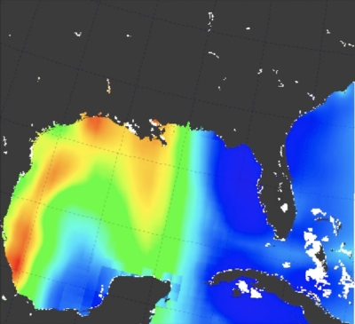
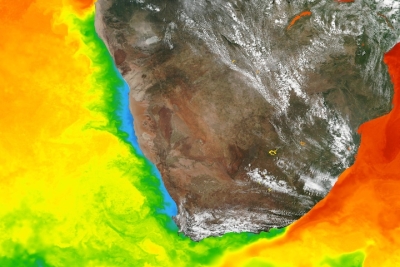
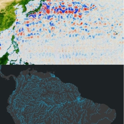
Data products include information about ocean processes including ocean circulation and surface winds, and heat exchange between the ocean and atmosphere, including sea surface temperature, sea surface salinity, and sea surface height. In addition, NASA data provide optical information that aids in assessing chlorophyll concentrations and turbidity and helps provide trends in global mean sea level.
Definition source: National Park Service