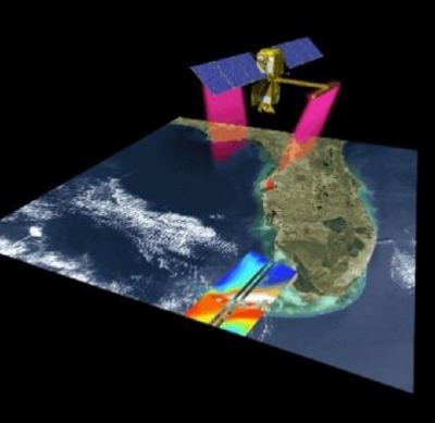
NASA’s Physical Oceanography Distributed Active Archive Center (PO.DAAC) hosted a half-day SWOT Data Access Workshop in February 2024 as part of the American Geophysical Union (AGU) Chapman: Remote Sensing of the Water Cycle Conference. The Surface Water and Ocean Topography (SWOT) satellite, a joint NASA/CNES (Centre National d'Etudes Spatiales) venture, with contributions from CSA (the Canadian Space Agency) and the United Kingdom Space Agency, provides unprecedented measurements of global surface water extents and elevations for hydrologic science and applications. Using SWOT data products, scientists can derive how fast rivers are flowing and how rapidly the storage in lakes and reservoirs is changing—all from the vantage point of space.
The 36 workshop attendees dove into information about the SWOT mission, were guided through live demonstrations on how to access and apply mission hydrology data, and received demonstrations of newly developed SWOT-specific tools. The agenda also allowed time for discussions and participant questions.
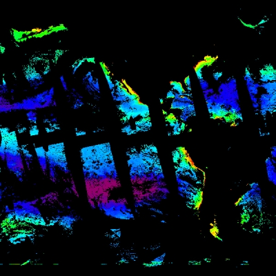
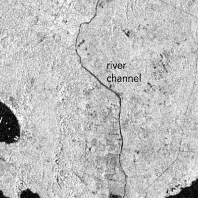
During the workshop's first hour, Dr. Cédric David, a NASA Jet Propulsion Laboratory (JPL) scientist, provided an overview of the motivation behind SWOT and shared captivating SWOT images from his research team, such as the ribbon of the Nile River flowing through Cairo, Egypt. This was followed by an overview of hydrology-applicable SWOT data products by Dr. Cassandra Nickles, a JPL applied science system engineer and a PO.DAAC team member. The hour concluded with Dr. Catalina Taglialatela, a JPL applied science system engineer and lead of the PO.DAAC applied science system engineering team, providing an overview of PO.DAAC as the NASA host of SWOT data followed by a brief tour of data search and discovery using NASA Earthdata Search.

The workshop's second hour was devoted to hands-on exercises using SWOT data. Participants utilized a 2i2c-managed cloud computing environment hosted by NASA Openscapes to walk through Python coding tutorials in real time alongside presenters. Dr. Taglialatela led workshop participants through a Jupyter Notebook demonstrating in-cloud access and visualization of six different SWOT data products using Python packages like earthaccess that make programmatic access to NASA Earthdata simple and easy. Following this exercise, Dr. Arnaud Cerbelaud, a JPL postdoctoral fellow, navigated participants through a Jupyter Notebook for retrieving SWOT attributes executed in the cloud, which built a common science workflow on top of the data access concepts participants had just learned.

A participant noted that "the notebooks are a very friendly way to do things I'd done locally, but on the cloud. The dream is to not have to download everything to do quick data exploration."
To round out the workshop, PO.DAAC tools for working with SWOT data were presented and discussed. In addition to being able to access SWOT data directly in the cloud, a Subscriber/Downloader command line tool makes data download to a local computer extremely efficient. SWOT-specific tools in development also include Hydrocron, an application programming interface (API) for retrieving time series SWOT data, and SWODLR, an on-demand raster generation tool unique to SWOT. In keeping with NASA open science policies, SWOT data, tools, and resources are available without restriction to global data users.
Following the workshop, a participant expressed in the feedback form that "PO.DAAC documentation seems to be invaluable for further data exploration." Another participant added that the "workshop and available cookbooks will be great for teaching concepts to students."
We welcome your exploration of how SWOT data can augment your existing workflows or initiate new, innovative science and applications. Have questions? Send them our way via the Earthdata Forum. Want more opportunities to explore SWOT data and resources? Register for the online SWOT Earthdata Webinar taking place Wednesday, March 20, 2024.
Explore SWOT Data and Resources
- SWOT workshop microsite with slides, tutorial demonstrations, and additional resources
- PO.DAAC Cookbook: SWOT
- SWOT data at NASA's PO.DAAC
- SWOT Observes Coastal California Flooding (NASA Earth Observatory, March 6, 2024)
Acknowledgement
A portion of this work was carried out at the Jet Propulsion Laboratory, California Institute of Technology, under a contract with the National Aeronautics and Space Administration (80NM0018D0004).