Filter By

Aaron Friesz, a NASA Openscapes mentor at NASA's Land Processes Distributed Active Archive Center (LP DAAC), helps promote open science principles to empower more diverse, inclusive, and effective data science communities.

NASA has long used imaging spectroscopy to peer into space. Now, scientists are using the technology to take a closer look at Earth.

New instruments like the Ka-band Radar Interferometer present NASA Engineers with calibration and validation challenges.
For meteorologist David Peterson, Ozone Mapping and Profiler Suite (OMPS) data are crucial for studying pyrocumulonimbus events.
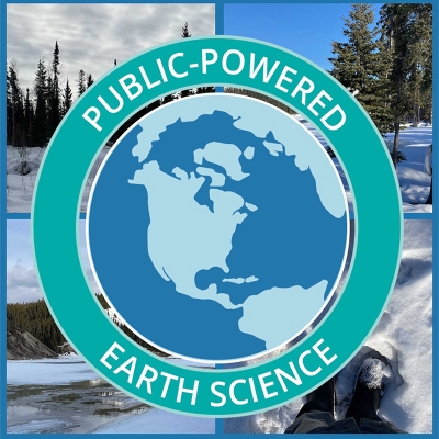
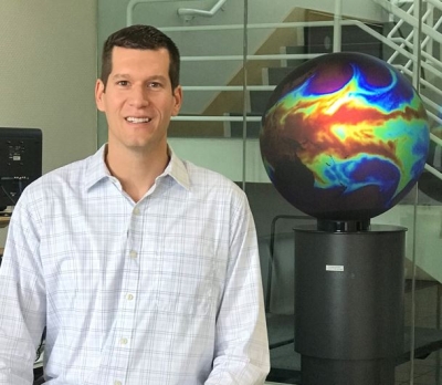
Dr. Gerald (Stinger) Guala talks about the many ways citizen scientists are enhancing NASA's Earth science data collection.

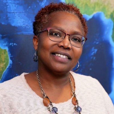
Dr. Yaítza Luna-Cruz explains why environmental justice matters and how NASA Earth science data are helping at-risk communities.
As EOSDIS System Manager and LANCE Manager, Karen Michael has two roles, but has one mission: ensuring users get the data they need.
Ryan Boller, ESDIS Data Visualization Lead, plays a key role in the development of NASA’s Global Imagery Browse Services and Worldview.

In the Information Technology sector, change is constant. For Information Systems Security Officer Christopher Mishaga, so is the need to protect the infrastructure and the integrity of NASA data.

“The most challenging part of new technologies is that they’re new,” says Justin L. Rice, NASA’s Deputy Manager for the ESDIS Project’s Science Systems Development Office, who plays a leadership role in the development of several projects critical to the ESDIS and EOSDIS missions.
Alfreda Hall leads NASA's Commercial Smallsat Data Acquisition program that purchases data from commercial vendors.

Open science, open-source software, and cloud-based Big Data collections are changing how science is conducted and expanding the possibilities for what scientists can do with NASA data.