Human Dimensions

The human dimensions discipline includes ways humans interact with the environment and how these interactions impact Earth’s systems. It also explores the vulnerability of human communities to natural disasters and hazards.


Human Dimensions RSS Feed
Human Dimensions

Human activities, such as the conversion of natural land to built-up areas, the cultivation of agricultural land, and the extent and type of agricultural production, movement and consumption of natural resources, can be tracked by sensors aboard Earth observing satellites. The combination of remotely sensed data with data collected by national and sub-national government agencies (such as census, disease, species diversity, and similar data) enables investigations into the impact of human activities on Earth. Additionally, these data are a vital resource for managing disaster response, such as using nighttime lights data to monitor power outages following storms or thermal anomaly data to track the movement of wildfires near populated areas.


Definition source: Colorado State University
You Might Also Be Interested In

Filter By

Content type
Dr. David Peterson, Naval Research Laboratory meteorologist poses with a globe showing wavy patterns of satellite data. Peterson is in a white, button-down shirt and sitting in the lobby of a large office building. A staircase with a white railing can be seen in the background.
Data Chat
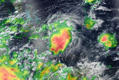
Tropical Storm Franklin over the Dominican Republic shown on a True color corrected reflectance image from the VIIRS instrument aboard joint NASA/NOAA Suomi NPP satellite overlaid with IMERG Precipitation Rate
Worldview Image of the Week
A headshot of Dr. Yehuda Bock, Distinguished Researcher and Senior Lecturer at the Scripps Institution of Oceanography’s Institute of Geophysics and Planetary Physics. Dr. Bock is standing before an ocean backdrop, wearing a brown suitcoat, dark gray shirt, and gray tie.
Data User Profile
air quality
Data Pathfinder
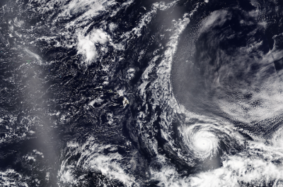
True Color Corrected Reflectance image of Hurricane Dora, south of the Hawaiian islands on 6 August 2023 from the VIIRS instrument aboard the joint NASA/NOAA NOAA-20 satellite
Worldview Image of the Week