Filter By
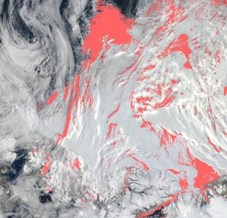
View a list of the layers that now show previously hidden pixel classifications.
The Multi-Mission Algorithm and Analysis Platform (MAAP) team unveiled stac_ipyleaflet, the latest addition to MAAP user tool boxes.
IMPACT interns foster a dynamic and collaborative atmosphere that invigorates project discussions and drives productivity.
We added a template option for writing an Algorithm Theoretical Basis Document (ATBD) in Google Docs, Microsoft Word, and LaTeX.
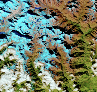
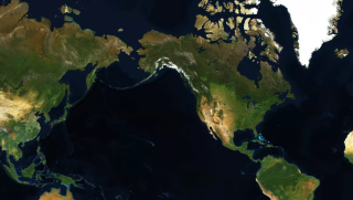
On August 3, 2023, the largest ever open-source geospatial AI foundation model was released.

CASEI is a centralized web interface for users to rapidly access information and data products acquired by NASA’s airborne or field investigations.
We welcome abstract submissions for three IMPACT-led sessions at the American Geophysical Union Fall Meeting.
IMPACT team members are convening sessions at the fall American Geophysical Union (AGU) Fall Meeting, and invite the submission of abstracts.
IMPACT presentations at the International Geoscience and Remote Sensing Symposium (IGARSS) highlight cutting-edge research, advancements in satellite technology, and novel remote sensing applications.
Get a sneak peek at two of the IMPACT team's presentations at the International Geoscience and Remote Sensing Symposium (IGARSS).